Our aircraft and sensors are the most advanced in the world, highly efficient and based within close proximity to the Oceania region.
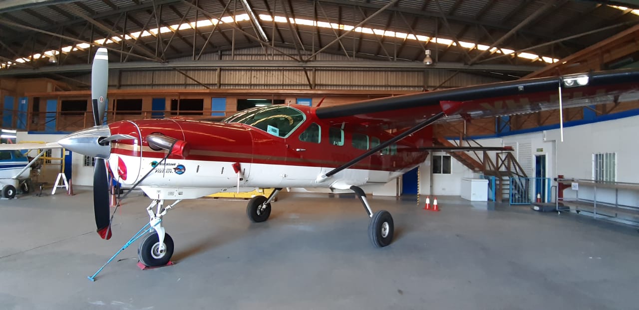


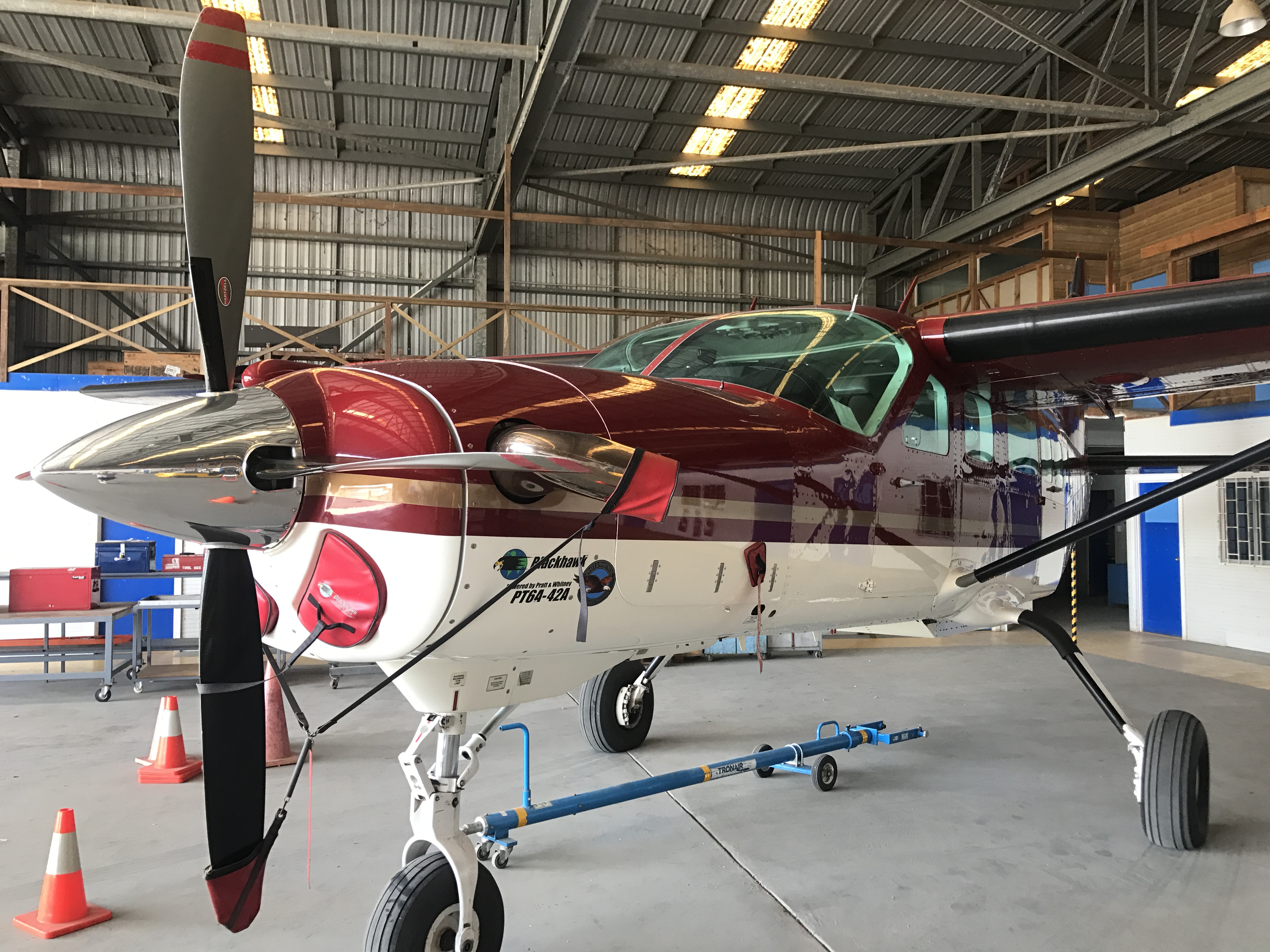
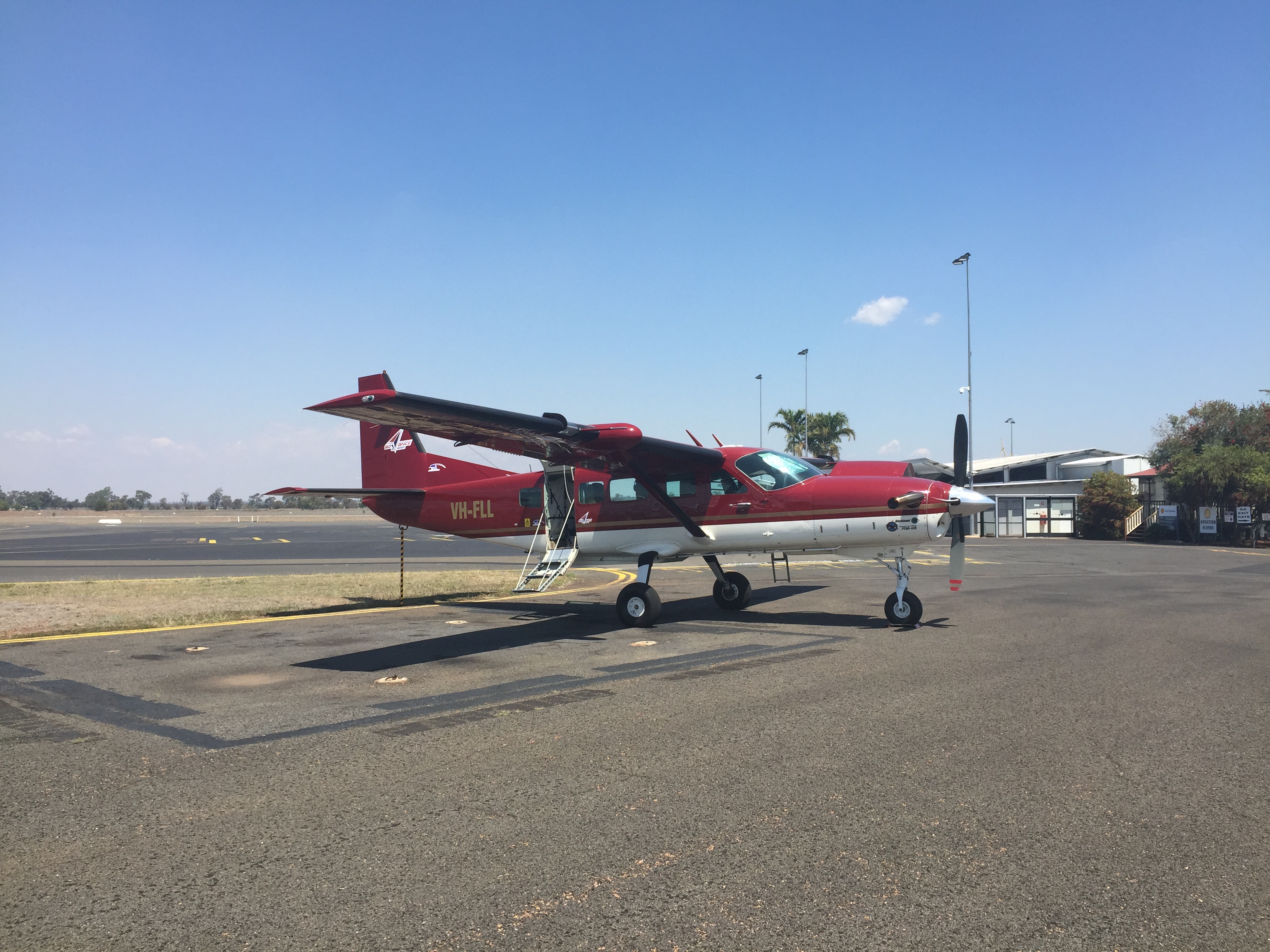
Survey Aircraft
| Aircraft Specifications | Details |
| Type | Cessna 208B (Blackhawk), Engine type PT6A-42A |
| Endurance | Cruise Speed – 170kts Ferry – 5-6 hours depending on flight altitude. Camera – 5-6 Hours depending on flight altitude LIDAR – Due to a reduced airspeed and corresponding reduction in fuel flow, we can achieve 6.6 hours dependant on altitude and ferry distance to nearest airport/fuel. |
| Survey Speed | As with Cruise speed, this is dependent on altitude. Altitudes below 10,000 Feet: Min: 90Kts – Max: 160Kts Altitudes between 10,000’– 17,000 Feet: Min: 100Kts – Max: 170Kts Altitudes between 17,000’– 25,000 Feet: Min: 110Kts – Max: 160Kts |
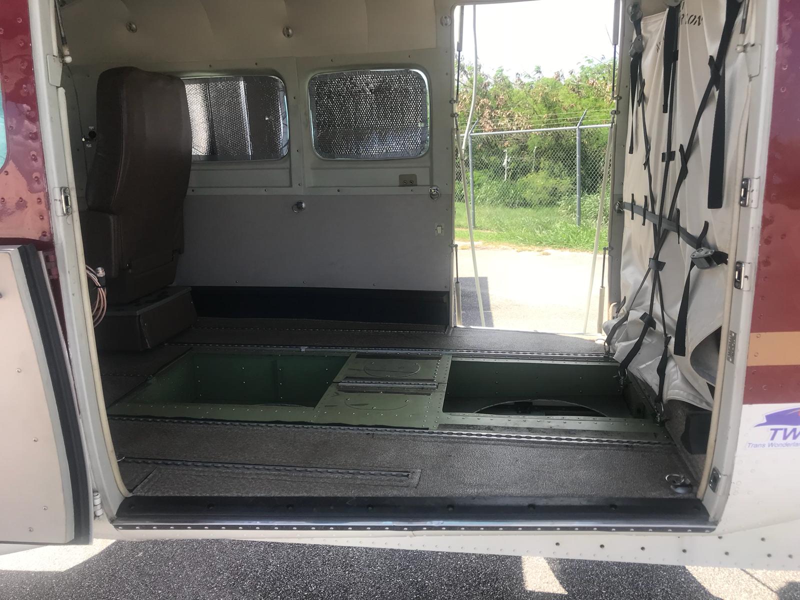
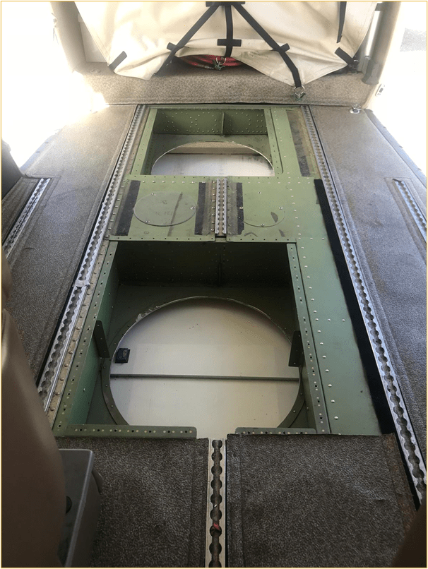
| Installation | Dual holes (2) – 20 inches / 50.8cm Rear hole depth to fuselage – 17cm / 6.692 inches Forward hole depth to fuselage – 22cm / 8.661 inches Power supply (2) – 28vdc / 50 amps max. (Can accommodate an extra 1 x 50Amp) Connectors / adaptors (2) – 3 Pin Mil Spec Base plate sizes (2) – 100 x 100 x 1 cm. |
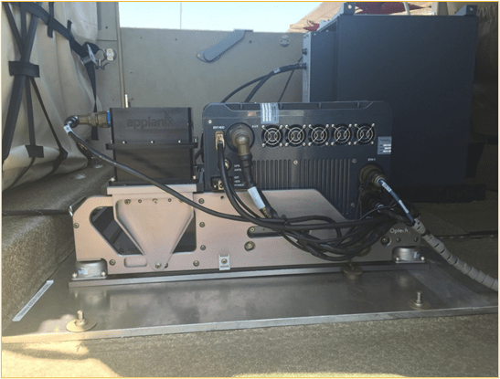
Teledyne Optech LiDAR Sensor and CS 10,000 Medium Format Camera
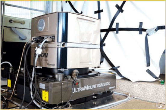
Ultracam Eagle Large Format Digital Camera
Holes and Mountings
Find that our technology suits your specifications? Reach out to us for a quote.
