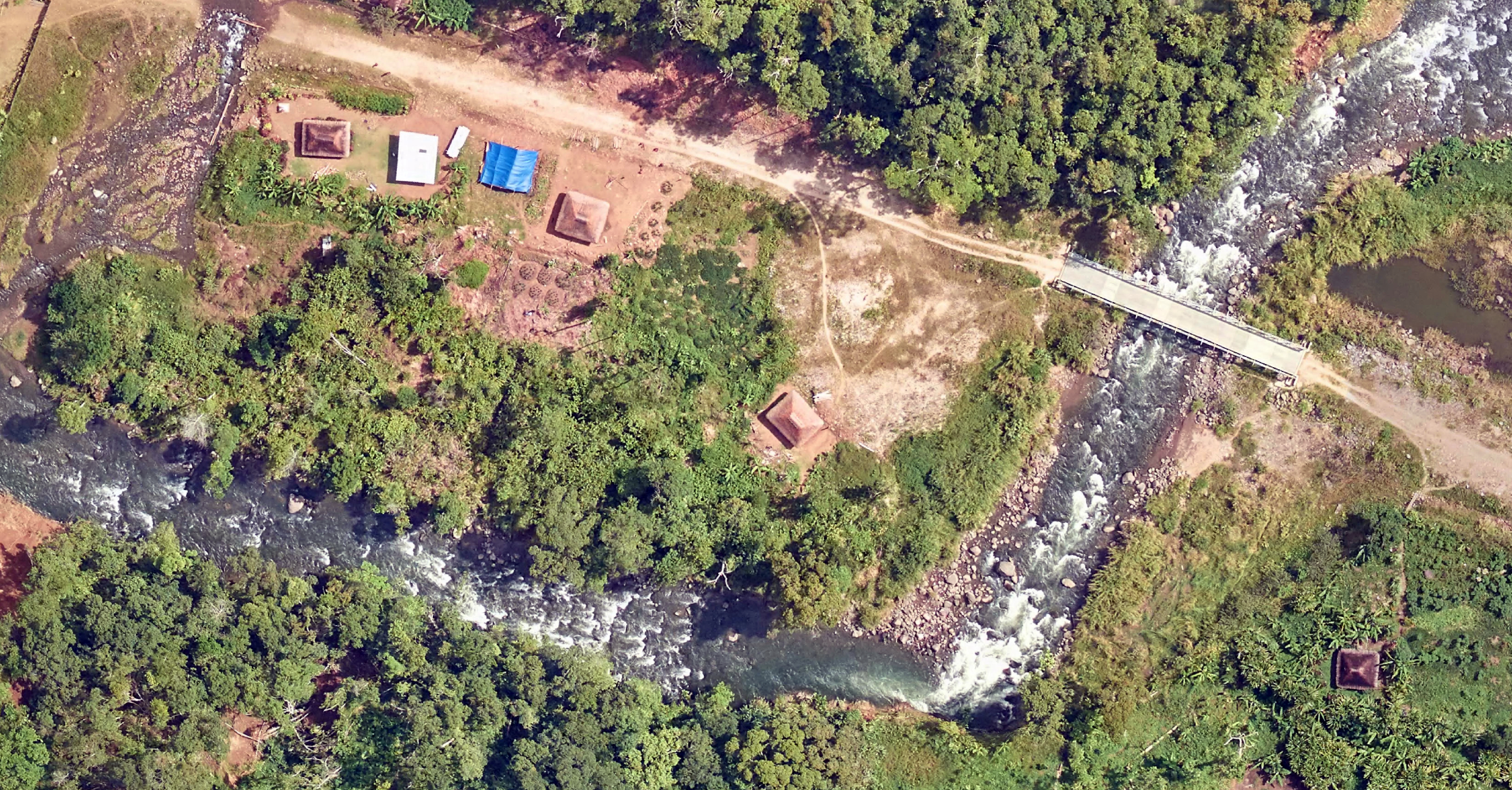
Airborne Laser Scanning and Aerial Photography with state-of-the-art technology.
At TWH, we understand that every project is different. Therefore, we believe that innovation is vital to meeting the requirements of every client.
We have Experts, Sensors and an Aircraft readily available to meet your needs
Our Services
AIRBORNE LASER SCANNING AND DIGITAL IMAGERY
TWH operates with the latest market leading Teledyne ALS Sensors and Vexcel Cameras.
Aircraft
Our aircraft has operated with Reigl LiDAR sensors and Leica Sensors. We are happy to fit your sensors if you just require a survey aircraft.
TWL Flight Operations are conducted by Hartcorp Enterprises, Certificate Number CASA.TAAOC.0544
Data Processing
We have a team of industry experts to process data to your project specifications and requirements.
– Data Capture from multiple imagery sources, Data Manipulation, Thematic Maps
– Point of Interest (POI) Surveys, Line of Site Surveys, 3D Obliques and Buildings
– LiDAR Data Classification, Orthorectification, Image Processing
– Establishing Geodatabases, GIS Mapping, Digital Elevation Models.
What we can do for you
TWH will provide you with the support necessary to meet your project objectives. We know how much easier project design and planning is when you have current and accurate spatial information at your fingertips.
Independent advice is part of our professional character. We take the time to listen to your objectives and provide professional, impartial advice to make your data work best for you.
As your project partner we advise you on the options available to find solutions that best suits your needs.
If the best solution for your needs is not Airborne Laser Scanning, then we will tell you and we’ll offer you the best alternative. It is that simple.
